Established pattern
Greenbelt corridor
Use this page to compare more established, trail-connected Clive living with newer-growth areas farther west.
Explore →Use this overview to compare how Clive feels in practice before you narrow the search to one address or micro-area.
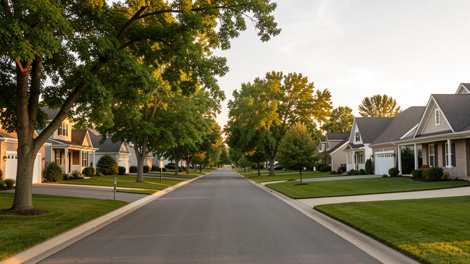
In Clive, district lines, Greenbelt access, and whether you want a more established or newer-growth setting usually matter more than broad “best neighborhood” claims.
These pages use the Greenbelt corridor and the west-Clive growth corridor as comparison frames. They are not official neighborhood boundaries, and they work best when they help you ask better address-specific questions.
Established pattern
Use this page to compare more established, trail-connected Clive living with newer-growth areas farther west.
Explore →Newer-growth pattern
Use this page to compare newer-home and farther-west tradeoffs without assuming every buyer wants the same thing.
Explore →